What the decree changed
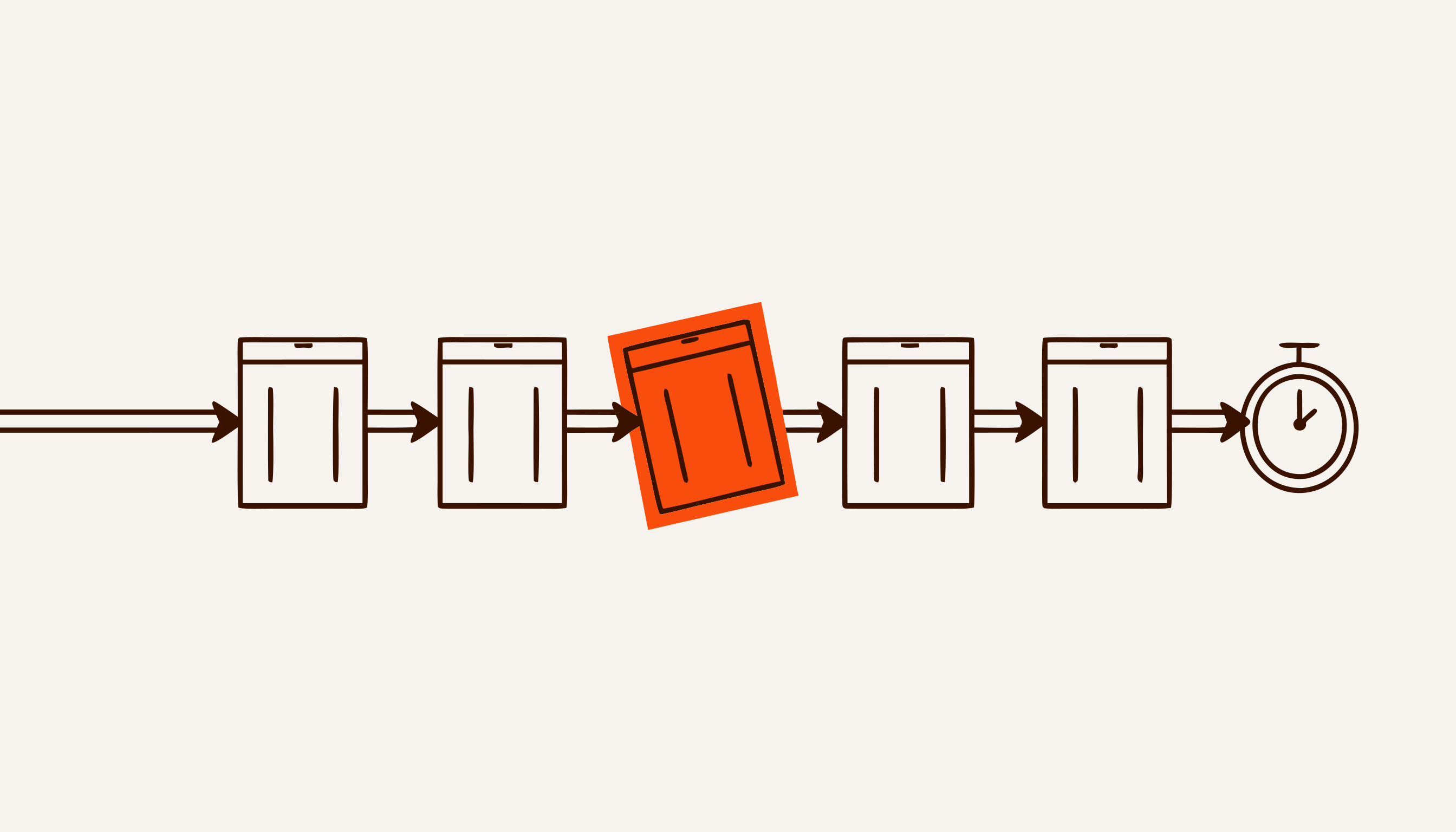
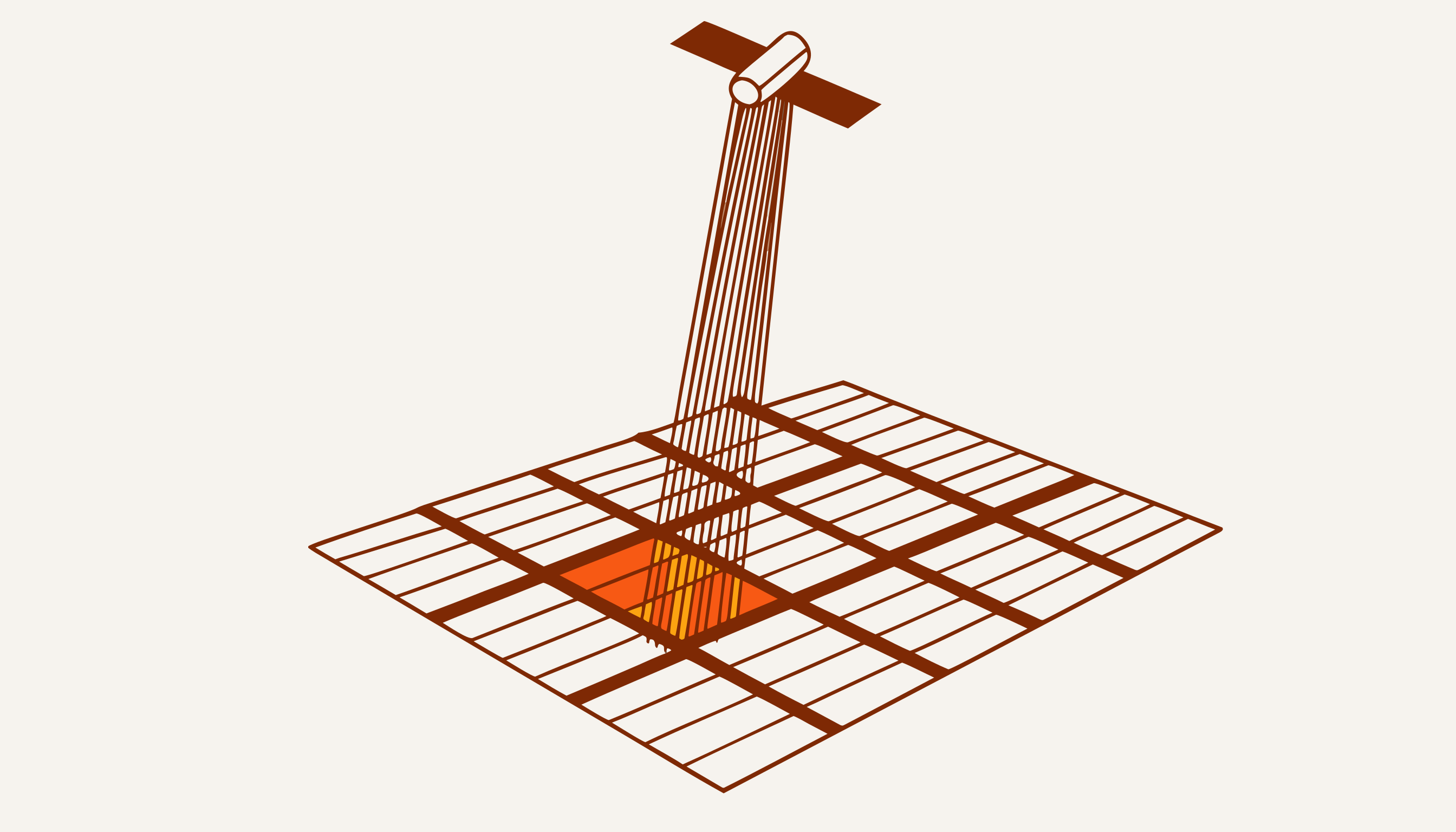
Decree PP-246 of 29 June 2026 changes how the subsidy is paid: 3 million soum per hectare is released only after the fact of cultivation has been confirmed by satellite monitoring. It is a one-off subsidy for the 2025 cotton harvest on land assigned to cotton-textile clusters, excluding subleased plots. What is checked is the fact of growing raw cotton (the decree says “more than 30 centners”), and the Ministry of Agriculture calculates the subsidy from the confirmed area.
That moves the relationship with the state out of reporting and into proof. Declared area and confirmed area are now two different numbers, and the money follows the second one.
The scale is easiest to judge from the top. In 2025 about 875,000 hectares were sown with cotton, the entire cotton area of the country. At 3 million soum per hectare that is 2.6 trillion soum. But the subsidy covers only land assigned to clusters, without subleases, so 2.6 trillion is an upper bound, not the amount to be paid.
What it costs one director
The arithmetic is easier on a single operation. Take, for example, a cluster with 47,000 hectares under cotton. At 3 million soum per hectare that is 141 billion soum riding on whether confirmed area matches declared area.
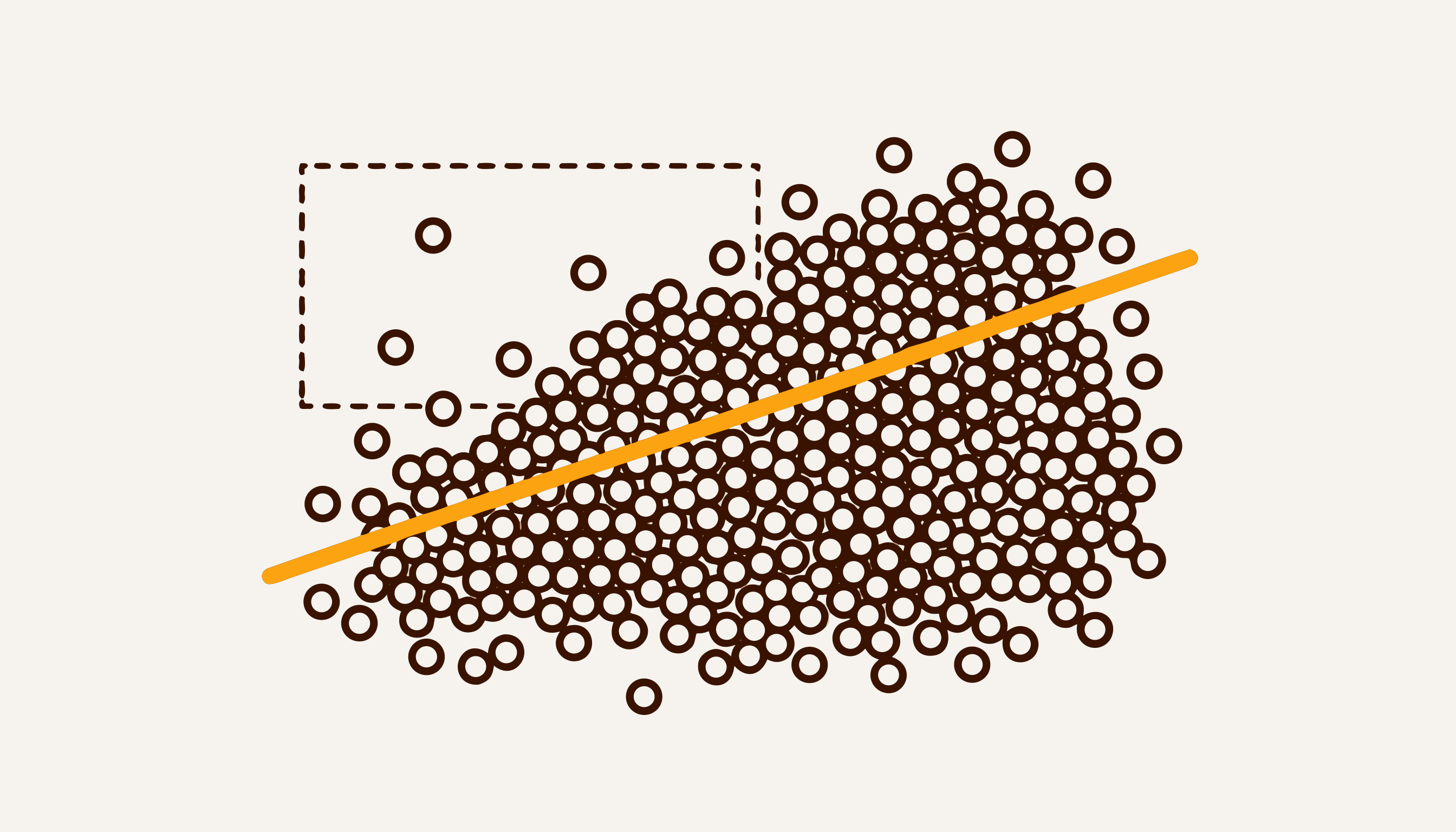
A 2% discrepancy is almost three billion soum. And a discrepancy does not imply bad faith: part of a field may have been re-sown, part may have failed to emerge, boundaries may have been drawn from an outdated map.
Here the difference between “we didn’t know” and “we knew in advance” is measured directly in money. By our own estimate from the specification, a preliminary check costs on the order of 0.1% of the sum at stake.
Who confirms it, and why they are not a competitor
Confirming cultivation is the responsibility of Uzbekkosmos, and the decree gives it one month for the check. The country already has a remote-sensing satellite of its own: on 5 August 2026 the hyperspectral Samarkand-2028, built together with China’s STAR.VISION, was put into orbit. But it is a single spacecraft. A two-satellite constellation of very high resolution will take at least three to four years, and Uzbekkosmos itself says two will not cover domestic demand.
Which matters for the market: the organisation responsible for verification does not have enough imagery and processing of its own, so it is more likely a buyer than a competitor to those who provide them. And the demand is not one-off: satellite monitoring is written into at least two more acts. Under UP-68 Uzbekkosmos monitors subleased plots twice a year, and under UP-183 water use is determined from state satellite monitoring data.
Why timing decides everything
Cotton is not recognisable from orbit at any point in the season. The best phase is the start of boll opening, a little more than a month before harvest: that is what a study of cotton mapping in Uzbekistan found on Sentinel-2 imagery. On the calendar that is August and early September. In that window a field carries a signature that separates the crop from its neighbours reliably.
After that the window closes. A November image will not tell you what grew in August.
For PP-246 itself this window is already in the past: the decree pays for the 2025 harvest, and the check runs on last season’s imagery. The practical conclusion is about the payments that follow: if money again depends on confirmed area, the season’s data has to be collected while the cotton is still in the field. After the harvest, the next opportunity is a year away.
This is the one part of the job money cannot fix after the fact. Equipment can be bought at any time, people hired, software written in six weeks — but a growth phase cannot be rewound.
What to do before the season ends
Four actions available to a cluster without any technology.
- Get your field boundaries into digital form. Not “the map in the office” — coordinates. Every later reconciliation compares your outline against someone else’s, and if yours does not exist digitally, the comparison happens without you.
- Mark the plots where reality differs from the declaration. Re-sowing, failed emergence, shifted boundaries. Monitoring will see these anyway — better to be the first to know.
- Collect ground truth points. A few dozen honest “this is what grows here” marks on your own fields is an asset that cannot be collected a month from now.
- Keep declared and actual area as two separate numbers. In one column they blend together unnoticed; in a conversation with an inspector the difference surfaces immediately.
Where we stand, honestly
Our product for this task exists on paper: the specification is written, the build takes six weeks. We have no working product with paying customers, and we are not going to claim otherwise.
The real cost of a project like this is not the code. By our estimate, it is 600–800 ground validation plots: without them any recognition model reports a pleasant accuracy figure that nobody has checked.
We write about it because the arithmetic above is not only ours. It looks the same for anyone who depends on confirmed area. A different state programme, one whose payment procedure has not been published yet, is the 50% reimbursement of AI implementation costs.